


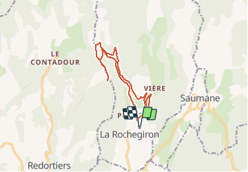

9,6 km | 12,7 km-effort


Benutzer


Kostenlosegpshiking-Anwendung
 SityTrail
IGN / Geografische Institute
SityTrail World
Die Welt öffnet sich für Sie
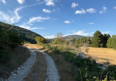
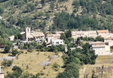
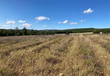
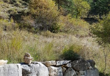
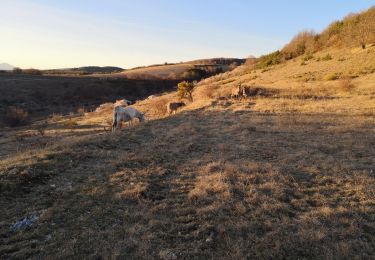
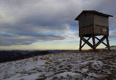
Tour Wandern von 14,7 km verfügbar auf Provence-Alpes-Côte d'Azur, Alpes-de-Haute-Provence, La Rochegiron. Diese Tour wird von dsurin vorgeschlagen.
Les Granges de la Roche par le ravin des Quatre Combes, retour par le chemin forestier d,e La Roche
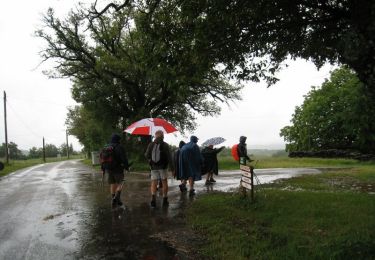
Wandern
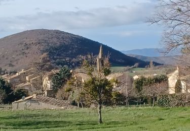
Wandern
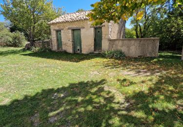
Wandern
Wandern
Wandern
Wandern
Wandern
Wandern
Wandern